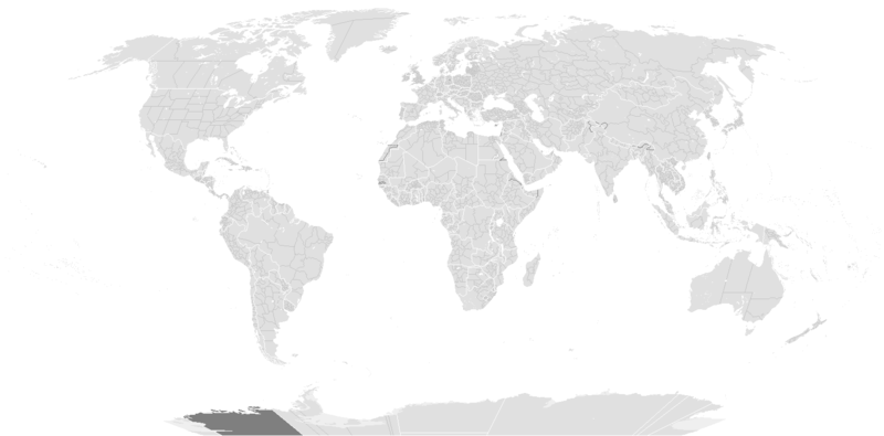
File:BlankMap-World-1985.png
外觀

預覽大小:800 × 395 像素。 其他解析度:320 × 158 像素 | 640 × 316 像素 | 1,500 × 740 像素。
原始檔案 (1,500 × 740 像素,檔案大小:90 KB,MIME 類型:image/png)
檔案歷史
點選日期/時間以檢視該時間的檔案版本。
| 日期/時間 | 縮圖 | 尺寸 | 用戶 | 備註 | |
|---|---|---|---|---|---|
| 目前 | 2019年12月10日 (二) 14:56 |  | 1,500 × 740(90 KB) | AKS471883 | Senegambia |
| 2017年10月10日 (二) 11:04 |  | 1,500 × 740(104 KB) | Expertseeker90 | Major edits and overhall! Continents, coastlines, lakes, rivers, islands, atolls and reefs added or fixed. National and internal boundaries re positioned and adjusted. | |
| 2013年1月7日 (一) 23:13 |  | 1,425 × 625(49 KB) | Criostóir | These are the internationally recognised borders of Morocco (and as recognised by the UN) | |
| 2012年10月28日 (日) 20:40 |  | 1,425 × 625(28 KB) | Apolikamixitos | Fixing Morocco borders. | |
| 2009年6月13日 (六) 13:08 |  | 1,425 × 625(49 KB) | Hoshie | Added a pixel around Timor island, fixed Cabinda (Angola), fixed the border of the Yemens and Saudi Arabia to where it was before the 2000 treaty based on this 1976 map [http://www.lib.utexas.edu/maps/middle_east_and_asia/middle_east_pol_1976.jpg http://w | |
| 2007年10月4日 (四) 01:21 |  | 1,425 × 625(30 KB) | R-41~commonswiki | Redone version | |
| 2007年9月24日 (一) 02:52 |  | 1,357 × 628(45 KB) | Hoshie | put the (N/S) Yemen boundary in white due to the fact the boundaries in southern Saudi Arabia have been disputed, undemarcated, or undisclosed over the years. | |
| 2007年8月6日 (一) 00:47 |  | 1,357 × 628(45 KB) | Hoshie | added Cabinda, under same license as original. | |
| 2007年1月24日 (三) 10:53 |  | 1,357 × 628(45 KB) | Hoshie | The Yemen boundry with Saudi Arabia did not exist until 2000. | |
| 2006年8月12日 (六) 04:07 |  | 1,357 × 628(45 KB) | Hoshie | I have removed the outline of the Trust Territory of the Pacific Islands and moved Walvis Bay down the coast of Namibia. |
檔案用途
沒有使用此檔案的頁面。
全域檔案使用狀況
以下其他 wiki 使用了這個檔案:
- ca.wikipedia.org 的使用狀況
- en.wikipedia.org 的使用狀況
- fr.wikipedia.org 的使用狀況
- it.wikipedia.org 的使用狀況
- nl.wikipedia.org 的使用狀況
- sk.wikipedia.org 的使用狀況


