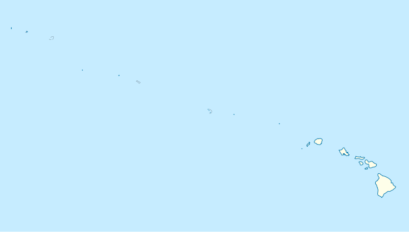
File:USA Hawaii island chain location map.svg
外觀

此 SVG 檔案的 PNG 預覽的大小:800 × 454 像素。 其他解析度:320 × 181 像素 | 640 × 363 像素 | 1,024 × 581 像素 | 1,280 × 726 像素 | 2,560 × 1,452 像素 | 1,476 × 837 像素。
原始檔案 (SVG 檔案,表面大小:1,476 × 837 像素,檔案大小:33 KB)
檔案歷史
點選日期/時間以檢視該時間的檔案版本。
| 日期/時間 | 縮圖 | 尺寸 | 使用者 | 備註 | |
|---|---|---|---|---|---|
| 目前 | 2012年10月14日 (日) 17:24 |  | 1,476 × 837(33 KB) | NordNordWest | Reverted to version as of 18:31, 13 November 2009; grey lines are reefs, not islands |
| 2012年10月14日 (日) 00:10 |  | 1,476 × 837(33 KB) | Grolltech | more consistent line weights and colors | |
| 2009年11月13日 (五) 18:31 |  | 1,476 × 837(33 KB) | NordNordWest | {{int:filedesc}} {{Information |Description= {{de|Positionskarte der gesamten Inselkette Hawaii, USA}} Quadratische Plattkarte, N-S-Streckung 109 %. Geographische Begrenzung der Karte: * N: 30° N * S: 17° N * W: 179° W * O: 1 |
檔案用途
下列32個頁面有用到此檔案:
- 僧侣墩
- 優勝美地國家公園
- 克盧恩/蘭格爾-聖埃利亞斯/冰川灣/塔琴希尼-阿爾塞克
- 冰河國家公園 (美國)
- 卡尔斯巴德洞窟国家公园
- 卡霍基亞土墩遺址
- 夏威夷火山國家公園
- 大峽谷國家公園
- 大沼澤地國家公園
- 大煙山國家公園
- 奧林匹克國家公園
- 帕帕哈瑙莫夸基亞國家海洋保護區
- 库雷环礁
- 弗兰克·劳埃德·赖特的20世纪建筑作品
- 弗吉尼亚大学
- 弗吉尼亚大学圆厅图书馆
- 弗德台地国家公园
- 查科文化国家历史公园
- 沃特頓-冰川國際和平公園
- 猛犸洞国家公园
- 紅木國家公園
- 美国世界遗产列表
- 美國獨立紀念館
- 聖費利佩海角城堡
- 自由女神像
- 蒙蒂塞洛
- 蘭格爾-聖埃利亞斯國家公園暨保護區
- 霍普维尔历史文化国家公园
- 黃石國家公園
- User:Earth Resident/涉足的世界遺產列表
- Template:Location map USA Hawaiian Islands
- Template:美國世界遺產
全域檔案使用狀況
以下其他 wiki 使用了這個檔案:
- ar.wikipedia.org 的使用狀況
- az.wikipedia.org 的使用狀況
- be.wikipedia.org 的使用狀況
- bn.wikipedia.org 的使用狀況
- ceb.wikipedia.org 的使用狀況
- Plantilya:Location map USA Hawaiian Islands
- Kahoma Ditch
- Kahua Ditch
- Kahului Airport
- Kailua Ditch
- Kalaupapa Airport
- Kaluanui Ditch
- Kama Ditch
- Kamananui Ditch
- Kamenehune Ditch
- Kamooloa Ditch
- Kanaha Ditch
- Kaneha Ditch
- Kapahi Ditch
- Kapālama Drainage Canal
- Kapalua Airport
- Kaua‘ula Ditch
- Kauhikoa Ditch (kanal sa Tinipong Bansa, lat 20,84, long -156,37)
- Kauhikoa Ditch (kanal sa Tinipong Bansa, lat 20,86, long -156,36)
- Ka‘ula
- Kawainui Canal
- Kawano Ditch
- Kawela Intake
- Keālia Ditch
- Kehena Ditch
- Kekaha Airstrip
- Kekaha Ditch
- Kelana Ditch
- Kemoo Ditch Tunnel
- Kipapa (kanal sa Tinipong Bansa)
- Kittery Island (pulo sa Tinipong Bansa, Hawaii)
- Kohala Ditch
- Kōke‘e Ditch
檢視此檔案的更多全域使用狀況。


