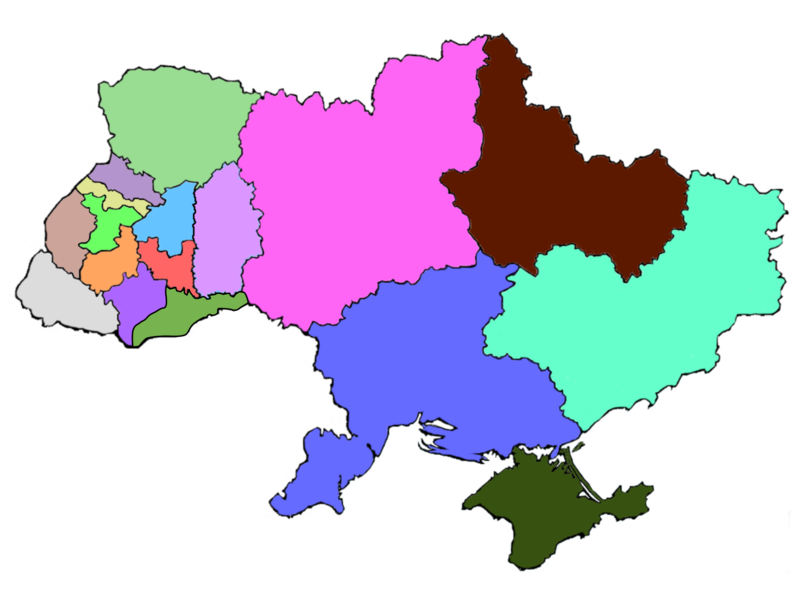
File:Ukraine eparchies.png
外观

本预览的尺寸:800 × 600像素。 其他分辨率:320 × 240像素 | 640 × 480像素 | 1,024 × 768像素 | 1,280 × 960像素 | 1,911 × 1,433像素。
原始文件 (1,911 × 1,433像素,文件大小:481 KB,MIME类型:image/png)
文件历史
点击某个日期/时间查看对应时刻的文件。
| 日期/时间 | 缩略图 | 大小 | 用户 | 备注 | |
|---|---|---|---|---|---|
| 当前 | 2019年1月6日 (日) 01:46 |  | 1,911 × 1,433(481 KB) | Augustus-ua | Виділено Чернівецьку єпархію у 2017 р |
| 2016年3月20日 (日) 19:29 |  | 1,024 × 768(152 KB) | Микола Василечко | Хмельницька область окремо | |
| 2015年1月8日 (四) 18:17 |  | 1,000 × 700(149 KB) | Der Kaen | Added Exarchate of Kharkiv and Exarchate of Crimea. | |
| 2009年1月31日 (六) 19:59 |  | 800 × 600(14 KB) | File Upload Bot (Magnus Manske) | {{BotMoveToCommons|en.wikipedia}} {{Information |Description={{en|a fairly crude map of the territorial structure of the en:Ukrainian Greek Catholic Church within en:Ukraine. Selfmade based on an empty contour map of Ukraine ([[:en::Image:Map |
文件用途
以下页面使用本文件:
全域文件用途
以下其他wiki使用此文件:
- be.wikipedia.org上的用途
- bg.wikipedia.org上的用途
- cs.wikipedia.org上的用途
- de.wikipedia.org上的用途
- en.wikipedia.org上的用途
- es.wikipedia.org上的用途
- fr.wikipedia.org上的用途
- hu.wikipedia.org上的用途
- id.wikipedia.org上的用途
- it.wikipedia.org上的用途
- pl.wikipedia.org上的用途
- pt.wikipedia.org上的用途
- ru.wikipedia.org上的用途
- sk.wikipedia.org上的用途
- sr.wikipedia.org上的用途
- uk.wikipedia.org上的用途


