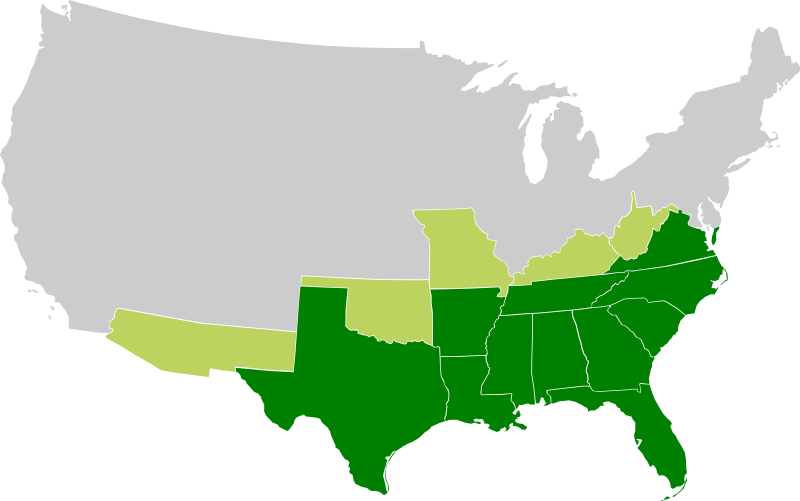
File:Confederate States of America.svg
外观

此SVG文件的PNG预览的大小:800 × 501像素。 其他分辨率:320 × 200像素 | 640 × 401像素 | 1,024 × 642像素 | 1,280 × 802像素 | 2,560 × 1,604像素 | 913 × 572像素。
原始文件 (动画SVG文件,尺寸为913 × 572像素,文件大小:57 KB)
注意:由于技术限制,该文件的缩略图无法进行动画处理。
文件历史
点击某个日期/时间查看对应时刻的文件。
| 日期/时间 | 缩略图 | 大小 | 用户 | 备注 | |
|---|---|---|---|---|---|
| 当前 | 2009年11月27日 (五) 16:23 |  | 913 × 572(57 KB) | Lexicon | Reverted to version as of 08:57, 21 March 2008 as new version is different image used for different purposes, and not an SVG file |
| 2009年11月26日 (四) 00:56 |  | 640 × 419(34 KB) | Major General Sterling Price | this is the Confederate States today if they won the Civil War | |
| 2008年3月21日 (五) 08:57 |  | 913 × 572(57 KB) | Nkocharh | I forgot Kentucky! | |
| 2008年3月21日 (五) 08:49 |  | 913 × 572(55 KB) | Nkocharh | {{Information |Description=A map of the Confederate Sates of America |Source=self-made |Date=21 March 2008 |Author= Nkocharh |Permission= |other_versions= }} |
文件用途
以下4个页面使用本文件:
全域文件用途
以下其他wiki使用此文件:
- af.wikipedia.org上的用途
- arz.wikipedia.org上的用途
- bn.wikipedia.org上的用途
- br.wikipedia.org上的用途
- da.wikipedia.org上的用途
- de.wikipedia.org上的用途
- de.wiktionary.org上的用途
- el.wikipedia.org上的用途
- en.wikipedia.org上的用途
- Alabama
- Arkansas
- Confederate States of America
- Louisiana
- North Carolina
- South Carolina
- Texas
- Tennessee
- Virginia
- West Virginia
- Georgia (U.S. state)
- Confederate Arizona
- West Virginia in the American Civil War
- User:Nkocharh
- Missouri in the American Civil War
- Florida in the American Civil War
- Kentucky in the American Civil War
- Alabama in the American Civil War
- Mississippi in the American Civil War
- South Carolina in the American Civil War
- Tennessee in the American Civil War
- Texas in the American Civil War
- Georgia in the American Civil War
- North Carolina in the American Civil War
- Virginia in the American Civil War
- Template:Confederate States political divisions
- Arkansas in the American Civil War
- Louisiana in the American Civil War
- Confederate government of Kentucky
- Wikipedia:Graphics Lab/Images to improve/Archive/Mar 2008
- Mississippi
- Secession in the United States
- Florida
- Conclusion of the American Civil War
- 1861 in the United States
- Talk:Muscogee Nation
查看此文件的更多全域用途。

