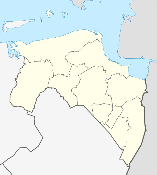
File:Netherlands Groningen location map.svg
外观

此SVG文件的PNG预览的大小:539 × 600像素。 其他分辨率:216 × 240像素 | 431 × 480像素 | 690 × 768像素 | 921 × 1,024像素 | 1,841 × 2,048像素 | 899 × 1,000像素。
原始文件 (SVG文件,尺寸为899 × 1,000像素,文件大小:94 KB)
文件历史
点击某个日期/时间查看对应时刻的文件。
| 日期/时间 | 缩略图 | 大小 | 用户 | 备注 | |
|---|---|---|---|---|---|
| 当前 | 2021年1月1日 (五) 01:12 |  | 899 × 1,000(94 KB) | NordNordWest | upd 2021 |
| 2018年12月30日 (日) 11:50 |  | 899 × 1,000(95 KB) | NordNordWest | upd 2019 | |
| 2017年12月30日 (六) 17:29 |  | 899 × 1,000(102 KB) | NordNordWest | upd | |
| 2013年12月29日 (日) 18:42 |  | 899 × 1,000(104 KB) | NordNordWest | update 2013 | |
| 2009年4月9日 (四) 15:05 |  | 899 × 1,000(190 KB) | Erik Frohne | {{Information |Description={{en|1=Location map of province Groningen in the Netherlands Equirectangular projection, N/S stretching 167 %. Geographic limits of the map: * N: 53.60° N * S: 52.80° N * W: 6.10° E * E: 7.30° E}} {{de|1=Positionskarte v |
文件用途
以下5个页面使用本文件:
全域文件用途
以下其他wiki使用此文件:
- ba.wikipedia.org上的用途
- bg.wikipedia.org上的用途
- cs.wikipedia.org上的用途
- de.wikipedia.org上的用途
- Rottumeroog
- Stadion Oosterpark
- Euroborg
- Zuidlaardermeer
- Punt van Reide
- Rottumerplaat
- Simonszand
- Zuiderduintjes
- Wikipedia:Kartenwerkstatt/Positionskarten/Europa
- Windpark Westereems
- Vorlage:Positionskarte Niederlande Groningen
- Gjaltema-Stadion aan de Langeleegte
- Eemscentrale
- Westerwolder Aa
- Kraftwerk Eemshaven (RWE)
- Kraftwerk Magnum
- Leuchtturm Watum
- Leuchtturm Delfzijl (1888)
- Bert-Swart-Brücke
- MartiniPlaza
- de.wikivoyage.org上的用途
- eo.wikipedia.org上的用途
- Groningo (urbo)
- Ŝablono:Informkesto nederlanda municipo
- Flughaveno Groningen-Eelde
- Heiligerlee
- Dolardo
- Ŝablono:Informkesto nederlanda municipo/dokumentado
- Ŝablono:Situo sur mapo Nederlando Groningen
- Granda Placo (Groningen)
- Preĝejo de Sankta Walfridus
- Fraeylemaborg
- Huis te Glimmen
- Nieuwe Compagnie
- Noordlaarderbos
- Quintus-arbaro
- Ennemaborg
- Oostwold (Oldambt)
- Rottumeroog
- es.wikipedia.org上的用途
- fa.wikipedia.org上的用途
- frr.wikipedia.org上的用途
- fr.wikipedia.org上的用途
查看此文件的更多全域用途。


