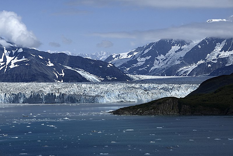
File:Hubbard Glacier, Disenchantment bay and Mount Vancouver.jpg
外观

本预览的尺寸:800 × 534像素。 其他分辨率:320 × 213像素 | 640 × 427像素 | 1,024 × 683像素。
原始文件 (1,024 × 683像素,文件大小:498 KB,MIME类型:image/jpeg)
文件历史
点击某个日期/时间查看对应时刻的文件。
| 日期/时间 | 缩略图 | 大小 | 用户 | 备注 | |
|---|---|---|---|---|---|
| 当前 | 2009年11月25日 (三) 10:07 |  | 1,024 × 683(498 KB) | File Upload Bot (Magnus Manske) | {{Information |Description=Mount Vancouver (15,700 feet) can be seen in the distance - center image. Hubbard Glacier, longest tidewater glacier in North America, begins its 76 mile journey to the sea on the slopes of Mount Logan, the tallest mountain in |
文件用途
以下页面使用本文件:
全域文件用途
以下其他wiki使用此文件:
- arz.wikipedia.org上的用途
- ca.wikipedia.org上的用途
- ceb.wikipedia.org上的用途
- cs.wikipedia.org上的用途
- da.wikipedia.org上的用途
- de.wikipedia.org上的用途
- es.wikipedia.org上的用途
- fr.wikipedia.org上的用途
- he.wikipedia.org上的用途
- it.wikipedia.org上的用途
- ja.wikipedia.org上的用途
- lld.wikipedia.org上的用途
- pl.wikipedia.org上的用途
- pt.wikipedia.org上的用途
- ru.wikipedia.org上的用途
- sw.wikipedia.org上的用途
- www.wikidata.org上的用途


